What is Detailed Drainage Design?
Detailed Drainage Design is usually the final stage within the Sustainable Urban Drainage Systems (SuDS) planning process. Detailed drainage proposals may be submitted with a planning application but may also be subject to planning conditions for approval later in the development process.
The detailed drainage design is a plan or set of plans used to inform the Local Authority’s drainage officer and/or Site of the requirements for surface water drainage system onsite, as it enhances the conceptual SuDS strategy proposed as part of the drainage strategy. Detailed drainage design is often thought of as the engineering drawings for a proposed SuDS scheme.
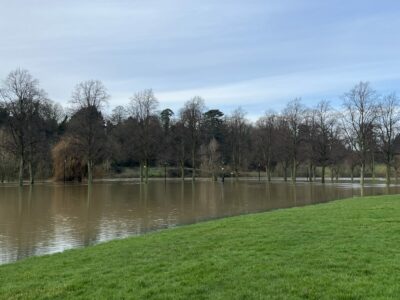
Once a SuDS assessment has been planned and approved by the Local Planning Authority (LPA) and/or Lead Local Flood Authority (LLFA), the need for infiltration testing and/or discussions with the utility company over discharge rates can be established, if required. The conclusion from infiltration testing and/or the agreement of a discharge rate informs the detailed drainage design of the proposed SuDS features to be implemented and/or constructed as part of the proposed development. Detailed drainage design can also include foul (waste) water drainage layout for a Site.
Before detailed drainage design is started, determining the foul and storm water flows generated by the proposed development and optimum points of outfall are calculated, so the capacity and suitability of existing drainage systems (if proposed to be used as part of the drainage strategy), to accommodate additional flows can be assessed. This hydraulic analysis and simulation modelling of foul and storm water drainage systems is often undertaken using MicroDrainage software.
Infiltration rates and/or discharge rates can then be used in the calculations, to design storm water flow attenuation measures and inform the size of SuDS features proposed.
Detailed drainage design can include the following to provide a comprehensive drainage layout on a site plan:
Foul drainage
- Pipe sizes, layouts and connections to existing sewerage systems;
- Manhole locations;
- Connections to private systems;
- Suitability of septic tanks, package treatment plants, pumping stations;
- S185 sewer diversions;
- Liaison with sewerage operator for adoption;
- Liaison with Environment Agency (EA), Natural Resources Wales (NRW), or Scottish Environment Protection Agency (SEPA) for discharge consent4; and
- Section 104 and 106 applications.
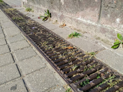
Surface water drainage systems
- Pipe sizes, layouts and connections to existing systems;
- Suitability and viability of soakaways/other focused infiltration SuDS features;
- Alternative sustainable solutions, such as discharge offsite to surface water or public sewer;
- Details of how rainwater harvesting might be incorporated;
- Flow control specification;
- Oil interceptors for commercial developments /car parks;
- Connections to existing systems;
- Adoption liaison;
- Details of discharges to watercourses and outfall design, including liaison with the Environment Agency;
- Interface with headwalls and culverts; and
- Section 104 and 106 applications.
As part of the design, confirmation of the arrangements for the operation and maintenance of the drainage system, in perpetuity, are usually included as part of a management and maintenance plan. Standard details of the proposed SuDS features, to be used within the development, are also included as part of the detailed drainage design plans.
In order to complete a detailed drainage design, the minimum information, which is usually required:
- Topographical survey (in CAD .dwg format), which should include the existing watercourse (if SuDSmart report proposes discharge to surface watercourse); and
- Proposed site layout (ideally in CAD .dwg format); and
- SuDS strategy (such as GeoSmart’s SuDSmart Pro report); and
- Infiltration testing to BRE365 methodology (where infiltration features are proposed as part of the SuDS strategy).
GeoSmart can assist with each stage of planning a SuDS strategy, starting with the conceptual plan, following the drainage hierarchy, via our range of SuDSmart reports and then undertaking the engineering drawings and technicalities of how the system will work, as part of the detailed drainage design stage.
For more information about the detailed drainage designs here at GeoSmart, call us on 01743 581 415, or email enquiries@geosmartinfo.co.uk