Climate change is compelling local authorities to think smarter about sustainable property development. Reconciling the pressure for housing with better environmental management is bringing forward new guidance on improved site drainage and flood mitigation.
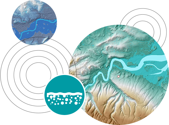
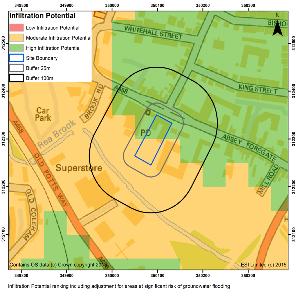
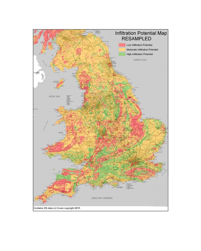
Our unique SuDS Infiltration Suitability Map reveals the locations best suited to sustainable drainage to meet new compliance standards for planning submissions.
Government policy for England is to introduce SuDS to control site rainfall runoff via conditions in planning approvals. Infiltration into the ground is the preferred method for managing surface water runoff on site without increasing flood risk downstream.
Property professionals must assess the feasibility of infiltration SuDS at an early stage in support of the site development process. This will allow outline site assessment of the cost implications and initial master planning of the development prior to the requirement for detailed design.
Lead Local Flood Authorities also need clear guidance on the site suitability for infiltration SuDS when they are assessing proposed developments.
Frequently Asked Questions
- Allows preliminary assessment of the site without the need for a bespoke SuDS design
- Use in conjunction with the SuDSmart report range to identify SuDS infiltration suitability and flow/volume design data
- Provides the client with a clear site risk profile on drainage cost and land area needed
GeoSmart SD50 provides an assessment of the capacity of the ground to receive infiltration depending on the nature, thickness and permeability of the underlying material and the depth to the high groundwater table.
Still have questions? Chat to our friendly team today
We value the quality of all that we do as critically important and our team is goal oriented
Ben Thorns
Solid Digital Marketing Ltd
Alan Gunne-Jones
Planning & Development Associates

We value and strive to achieve Service Excellence as the key to our success.