
BGS Geology Datasets
Insights from the ground up
We are a key partner of the British Geological Survey (BGS) and are now able to provide clients and their consultancies with bespoke datasets.
Rated Excellent on Trustpilot


We are a key partner of the British Geological Survey (BGS) and are now able to provide clients and their consultancies with bespoke datasets.
Rated Excellent on Trustpilot
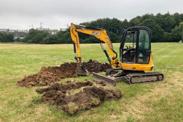
These can be incorporated into GIS and land mapping systems in-house, as part of the preparation of development or infrastructure schemes for planning submission.
As a BGS data reseller, the full range of available datasets, at highly competitive prices, are as follows:
| LondonEarth | BGSCivils Foundation Conditions | GeoSure Landslides |
| BGS Geology 10k | BGSCivils Strength | GeoSure Running Sands |
| BGS Geology 250k | BGSCivils Sulfate/Sulfide Potential | GeoSure Soluble Rocks |
| BGS Geology 50k | Resistivity | GeoSure Shrink Swell |
| BGS Geology SDTM | Aquifer Designation | Radon potential |
| Single Onshore Boreholes Index (SOBI) | Groundwater Vulnerability (England) | BGS MineralResources |
| Soil Parent Material Model (SPMM) | Groundwater Vulnerability (Wales) | BritPitsFull |
| BGSCivils Bundle (8 layers) | HydroScotland | Historic Mineral Planning Permission Data |
| BGSCivils BulkingVol | BGS Mining (non-coal) | BGS Coastal Vulnerability |
| BGSCivils Discontinuities | BGS Coastal Vulnerability | BRITPITS |
| BGSCivils Engineering Fill | GeoSure All | Mineral Resources |
| BGSCivils Excavatability | GeoSure Collapsible Deposits | |
| BGSCivils Ferrous Corrosivity | GeoSure Compressible Ground |
For a detailed discussion on your specific project’s data needs, call us now on 01743 562262 or email enquiries@geosmartinfo.co.uk


“The service provided was efficient and friendly. From the first phone call to GeoSmart they provided a clear, professional approach to my request within the timescales advised. Great service and I would have no problem recommending”
“We are very pleased with the service provided by GeoSmart. Their reports have been used to assist with numerous planning applications and have always been delivered to budget and on-time, much to our clients’ appreciation. We look forward to working with GeoSmart on future projects.”
“Efficient and friendly service, GeoSmart provided a clear and concise report within the timescales advised. Great service and I would have no problem recommending”
“The service for a Phase 1 Contaminated Land Study was excellent, fast and efficient! GeoSmart were willing to assist despite the extremely tight timescale to work with. We will definitely consider using your services again”
“The service was great, fast and efficient. Everyone we talked to was very helpful and the details were well received by the planners”
“Great service! Extremely fast and the report was very detailed and well received by the planners. Many thanks GeoSmart, we will definitely use your services again”
“Everyone involved from initial approach to receipt of report was knowledgeable, efficient and focused”
“I would like to say that dealing with GeoSmart was a seamless experience from beginning to end – thank you for that”
“We were impressed by the speedy, well-informed service and personal contact that we received. The report was thorough and comprehensive. We will certainly use GeoSmart’s services in the future”
I was concerned to find out that my house was at a ‘moderate risk’ of groundwater flooding. I was unable to get any further information from anyone until I contacted GeoSmart. The staff I spoke to were friendly, helpful, efficient and extremely knowledgeable. The information provided was very site…
I now purchase GeoSmart’s Groundwater Flood Risk maps regularly – always a very speedy response to the both the initial request and, more importantly, delivery of the data! Excellent customer service too. The data is clear and extremely useful for flood risk assessments.
Brilliant customer service.
Browse our catalogue of white papers, technical guidance notes, and recorded CPD sessions. Each resource is available for individual download.