
Groundwater Flood Risk
Insights from the ground up.
Groundwater Flood Risk Assessment Reports and Data specifically focusing on groundwater flood risk
Rated Excellent on Trustpilot


Groundwater Flood Risk Assessment Reports and Data specifically focusing on groundwater flood risk
Rated Excellent on Trustpilot
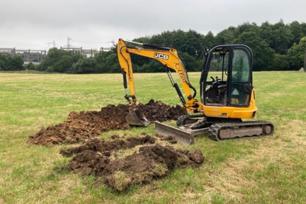
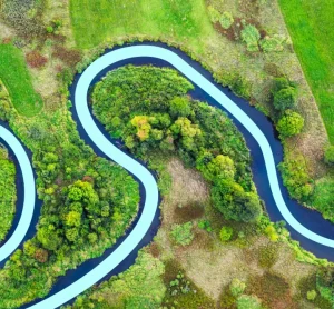
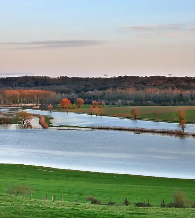
Groundwater flooding is responsible for about a quarter of all property and infrastructure risk and can cause a multitude of damages. It is particularly prevalent where chalk, sandstone, localised sands or river gravel in the bottom of valleys are present.
There are multiple ways that groundwater can have an effect on a property or development, and it is important for developers, planners, architects and anyone involved in a project to understand the risks.
If your Site has a high risk of groundwater flooding, you may need more information, whether you’re purchasing a property, or developing a Site and need planning permission.
GeoSmart can provide Groundwater flood risk data, as well as more detailed Flood Risk Assessments with a focus on Groundwater.
GeoSmart’s Groundwater Flood Risk Assessments (GWFRA) are the first ever reports to demonstrate the risk to a site from groundwater flooding. It provides the most accurate method of screening and assessment at postcode level available.
Our reports are based on GeoSmart’s 5m Groundwater Flood Risk Map (GW5). The assessment will screen for groundwater flood risk and then our highly experienced hydrologists will investigate the physical and environmental setting, including local geology, groundwater levels and topography. As a further cost option, LIDAR data can be used for more complex sites.
Based on a simple traffic light system, the flood risk report is quick and easy to understand. Detailed guidance and clear recommendations on next steps are provided.

Environmental reports provided.

UK property transactions used GeoSmart data.

Value of properties advised on flood risk


Looking for the right Flood Risk Report package for you? At GeoSmart, we have two assessment options, both giving clear flood management options and fast delivery times to help you prepare to manage risks that may occur on developments. Find out more about our different report options below.
Navigating environmental reports can be complex. We’ve answered the most common queries about our data, timescales, and planning suitability below.
Can’t find the answer? Our consultancy team is here to help.
Our Groundwater flood risk maps can be delivered within 2-3 working days.
Our GWFRAs typically take 10-15 working days.
Premium delivery option is available if urgent.
Our Groundwater Flood Risk maps can be sent in DWG or PDF format.
Our GWFRA will be sent in electronic format as a .pdf file straight to your inbox.
Hard copies available at an additional cost.
Produced by specialist hydrologists with over 15 years’ experience
Widely accepted in support of planning applications, the acquisition or sale of land, as well as the insurability of a business or property
Quick turnaround options available
Low cost / fixed price
Based on:
If your site doesn’t fit these assumptions or you require a site walkover survey, we can still assist but please do get in touch as one of our other packages may suit you better.

“The service provided was efficient and friendly. From the first phone call to GeoSmart they provided a clear, professional approach to my request within the timescales advised. Great service and I would have no problem recommending”
“We are very pleased with the service provided by GeoSmart. Their reports have been used to assist with numerous planning applications and have always been delivered to budget and on-time, much to our clients’ appreciation. We look forward to working with GeoSmart on future projects.”
“Efficient and friendly service, GeoSmart provided a clear and concise report within the timescales advised. Great service and I would have no problem recommending”
“The service for a Phase 1 Contaminated Land Study was excellent, fast and efficient! GeoSmart were willing to assist despite the extremely tight timescale to work with. We will definitely consider using your services again”
“The service was great, fast and efficient. Everyone we talked to was very helpful and the details were well received by the planners”
“Great service! Extremely fast and the report was very detailed and well received by the planners. Many thanks GeoSmart, we will definitely use your services again”
“Everyone involved from initial approach to receipt of report was knowledgeable, efficient and focused”
“I would like to say that dealing with GeoSmart was a seamless experience from beginning to end – thank you for that”
“We were impressed by the speedy, well-informed service and personal contact that we received. The report was thorough and comprehensive. We will certainly use GeoSmart’s services in the future”
I was concerned to find out that my house was at a ‘moderate risk’ of groundwater flooding. I was unable to get any further information from anyone until I contacted GeoSmart. The staff I spoke to were friendly, helpful, efficient and extremely knowledgeable. The information provided was very site…
I now purchase GeoSmart’s Groundwater Flood Risk maps regularly – always a very speedy response to the both the initial request and, more importantly, delivery of the data! Excellent customer service too. The data is clear and extremely useful for flood risk assessments.
Brilliant customer service.
Browse our catalogue of white papers, technical guidance notes, and recorded CPD sessions. Each resource is available for individual download.