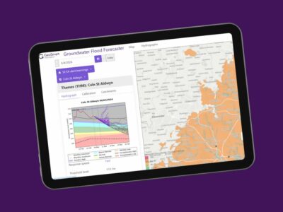
Providing spatial data products and modelling services for asset and infrastructure managers as well as environmental consultants needing to identify environmental risks to specific sites through to full coverage of Great Britain.
Water companies, developers and local authorities can screen sites and portfolios for risks as part of cost appraisals, scheme design and planning requirements.

Still have questions? Chat to our friendly team today
We value the quality of all that we do as critically important and our team is goal oriented
4000+
Environmental Reports provided.
3 million+
UK property transactions used GeoSmart data.
15+
Utility and Public Service Providers used GeoSmart data.
£900Billion+
Value of properties advised on flood risk
I found Jasmine and the team excellent. Fast and extremely efficient.
Developer
“The service provided was efficient and friendly. From the first phone call to GeoSmart they provided a clear, professional approach to my request within the timescales advised. Great service and I would have no problem recommending”
John Childs
Private Developer


