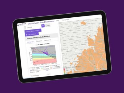
These can be incorporated into GIS and land mapping systems in-house, as part of the preparation of development or infrastructure schemes for planning submission.
As a BGS data reseller, the full range of available datasets, at highly competitive prices, are as follows:
| LondonEarth | BGSCivils Foundation Conditions | GeoSure Landslides |
| BGS Geology 10k | BGSCivils Strength | GeoSure Running Sands |
| BGS Geology 250k | BGSCivils Sulfate/Sulfide Potential | GeoSure Soluble Rocks |
| BGS Geology 50k | Resistivity | GeoSure Shrink Swell |
| BGS Geology SDTM | Aquifer Designation | Radon potential |
| Single Onshore Boreholes Index (SOBI) | Groundwater Vulnerability (England) | BGS MineralResources |
| Soil Parent Material Model (SPMM) | Groundwater Vulnerability (Wales) | BritPitsFull |
| BGSCivils Bundle (8 layers) | HydroScotland | Historic Mineral Planning Permission Data |
| BGSCivils BulkingVol | BGS Mining (non-coal) | BGS Coastal Vulnerability |
| BGSCivils Discontinuities | BGS Coastal Vulnerability | BRITPITS |
| BGSCivils Engineering Fill | GeoSure All | Mineral Resources |
| BGSCivils Excavatability | GeoSure Collapsible Deposits | |
| BGSCivils Ferrous Corrosivity | GeoSure Compressible Ground |
For a detailed discussion on your specific project’s data needs, call us now on 01743 562262 or email enquiries@geosmartinfo.co.uk

Still have questions? Chat to our friendly team today
We value the quality of all that we do as critically important and our team is goal oriented
4000+
Environmental Reports provided.
3 million+
UK property transactions used GeoSmart data.
15+
Utility and Public Service Providers used GeoSmart data.
£900Billion+
Value of properties advised on flood risk
“We were impressed by the speedy, well-informed service and personal contact that we received. The report was thorough and comprehensive. We will certainly use GeoSmart’s services in the future”
Gregory Gray
Gregory Gray Associates
“Everyone involved from initial approach to receipt of report was knowledgeable, efficient and focused”
Robert McCall
OeMO Ltd


